News
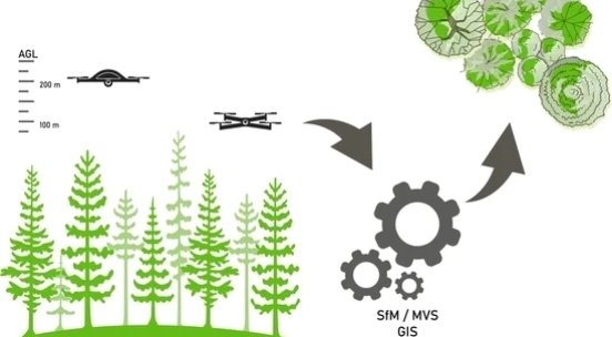
PUBLICATION on Supplementary LiDAR using UAV pointclouds
UAV mohou doplnit LiDAR při charakterizování dynamicky se měnící dřevité vegetace
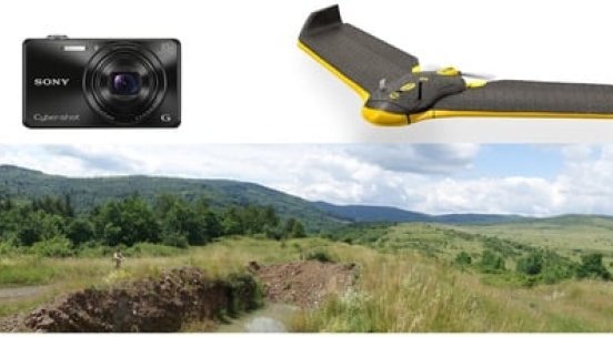
PUBLICATION on Potential of UAV in the Identification of Conifers
Potenciál běžných UAV kamer při identifikaci jehličnanů a vytyčování jejich korun
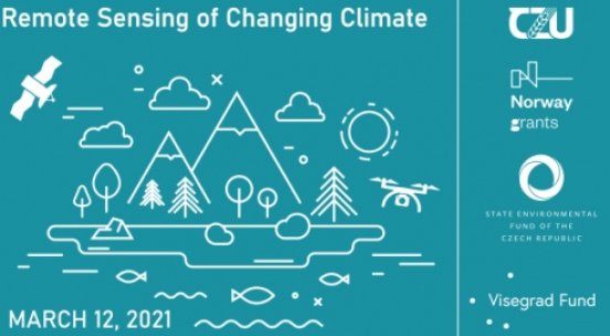
International seminar took place online
Remote Sensing of Changing Climate on March 12, 2021
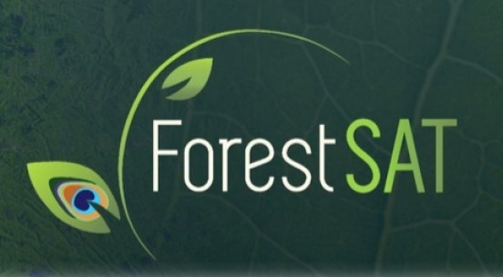
ForestSAT conference postponed to 2022
ForestSAT conference postponed to early September 2022 due to worldwide pandemic

International forum in Prague
March 12, 2021
RESCHEDULED
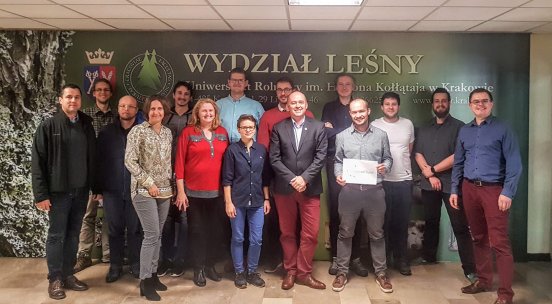
Kick-off meeting in Krakow
Cooperation towards knowledge!
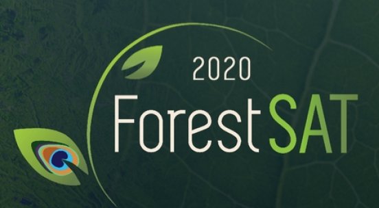
ForestSAT 2020
international conference will take place in Krakow, 14-18 September 2020

Monitoring Forest Change with Remote Sensing
Special issue of Remote Sensing until of 31 December 2019
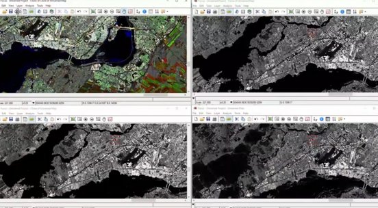
SAR training in Krakow
PCI Geomatics present Advanced SAR Training Course, Sept 30 - Oct 3, 2019

Dialogue meeting in Krakow
the first meeting between the partners will take place in Krakow